Israel's 64-km Eastern Railway Opens With Three New Stations
The new corridor beside Highway 6 puts Hadera East about an hour from Tel Aviv and is expected to lift national rail capacity by roughly 30 percent.
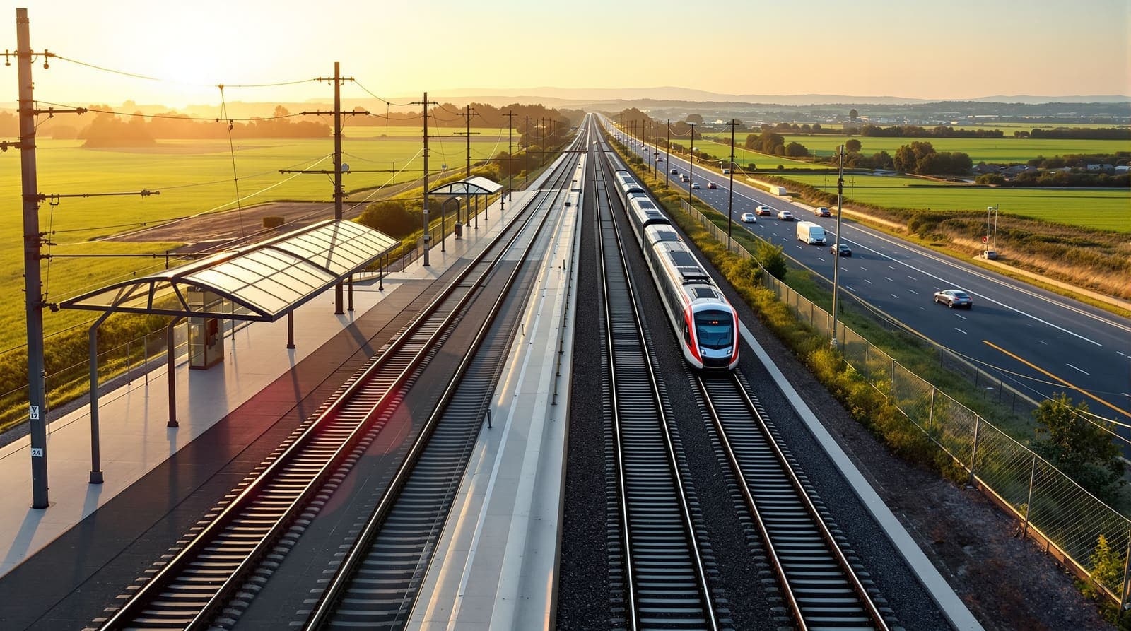
Illustration
Israel's Eastern Railway began carrying passengers on Sunday, opening a rail corridor intended to improve links between central Israel and communities in the Sharon region and Samaria, according to the announcement of 24 June 2026.
The first phase brings three stations into service (Hadera East, Shomron-Tayyaba and Tira-Kochav Yair), connected to the rest of the country through an upgraded station at Rosh HaAyin North. Journeys to Tel Aviv were given as approximately 60 minutes from Hadera East, 46 minutes from Shomron-Tayyaba and 39 minutes from Tira-Kochav Yair. The line itself runs 64 kilometres between Hadera and Lod, is electrified, and follows the route of Highway 6. Further stations at Shoham, Elad and Lod are planned for later phases.
Where the line actually goes
The Sharon is the central section of Israel's coastal plain, running north from the Yarkon River at the edge of Tel Aviv for roughly 90 kilometres and inland about 15 kilometres to the Samarian hills; Hadera, Netanya, Kfar Saba and Ra'anana all sit within it. Samaria is the term Israeli officialdom uses for the northern part of the West Bank; as reference works note, the Palestinian Authority and the international community do not use it, and the territory is generally known as part of the West Bank.
Highway 6, which the new line shadows, is a 204-kilometre electronic toll motorway running north–south past Hadera, Rosh HaAyin, Petah Tikva, Ramla and Kiryat Gat, built expressly so drivers could bypass the congested Tel Aviv region. Putting a railway on the same axis gives the corridor a public-transport equivalent for the first time.
A network that has been growing fast from a low base
Israeli rail is a comeback story. Passenger numbers bottomed out at about 2.5 million a year in 1990 and had reached roughly 69 million by 2019, with the network measured at about 1,511 route kilometres as of 2022, according to reference summaries of the sector. The same summaries record long-standing plans to rebuild the eastern railway from Hadera to Rosh HaAyin, with a spur to Afula, giving central Israel a second north–south corridor.
The operator, Israel Railways, is state-owned and runs the entire heavy rail network, which has been progressively converted to 25 kV overhead electrification. Because almost every long-distance service has historically funnelled through Tel Aviv, capacity in the Ayalon corridor has been the binding constraint on the whole system, which is the logic behind a parallel route further east.
What the ministry is claiming, and what it is not
The line is presented as part of the Transportation Ministry's "Connecting Israel" plan, and is expected to raise national rail capacity by about 30 percent. Transportation Minister Miri Regev called the opening "a historic moment" and said the line would "connect Samaria, Sharon and the Arab sector to the national rail network." The stated benefits beyond journey time (better access to jobs, universities, healthcare and shops for hundreds of thousands of residents, and less pressure on the roads) are the ministry's projections rather than measured outcomes.
What is still unclear
The announcement did not give a construction cost, a projected daily ridership, or a service frequency for the new stations. It did not say when the later phases at Shoham, Elad and Lod are expected to open, nor how the 30 percent capacity figure was calculated. It also did not specify which communities in the Sharon and Samaria the ministry counts among the hundreds of thousands of residents it says will benefit.
Sources and further reading
Every link below was opened and checked when this page was written. Official statements are marked as such: they are the subject's own account, not an independent one.
- ReferenceWikipediaen.wikipedia.orgRail transport in Israel
Network length, long-run ridership figures and the long-planned eastern corridor
- ReferenceWikipediaen.wikipedia.orgIsrael Railways
State ownership of the operator and the electrification standard used
- ReferenceWikipediaen.wikipedia.orgSharon plain
Location and extent of the Sharon region and the cities within it
- ReferenceWikipediaen.wikipedia.orgHighway 6 (Israel)
Length, route and purpose of the toll motorway the railway parallels
- ReferenceWikipediaen.wikipedia.orgSamaria
Explains the terminology used in the ministry's description of the corridor
How we checked this
Every detail of the line, the stations, the journey times and the ministerial quotes comes from the Transportation Ministry announcement of 24 June 2026 reproduced in the original release. The geographic and network context (the Sharon, Highway 6, Israel Railways' size and ridership history) was researched separately and is cited inline.
The account of the incident itself rests on the official statement and has not been independently confirmed by Israel.com. Where the statement is silent, this page says so rather than filling the gap.
Our sourcing and corrections policy →The week from Israel, in one email
The stories that mattered, sourced and checked by the Israel.com newsroom. Free, weekly, one-click unsubscribe.
One list, unsubscribe in a click. See our privacy policy.
More in Transport
All transport →


Latest
- IDF says Khan Younis strike killed Nukhba operative tied to Steinberg's death
- Yair Golan sues Sara Netanyahu for millions over Channel 14 remarks
- Ariel man, 53, found alive after entering Palestinian village overnight
- Houthi forces reported streaming into Yemen's port city of Mocha
- Israel says three Hamas weapons depots destroyed in strikes across Gaza
- Advisers warned Trump the Iran war could outlast his presidency