Storm Byron Aims at Israel With Up to 200mm of Rain
Forecasters warned of flash floods from the northern coast to the Dead Sea as Storm Byron crossed the Mediterranean, with cities cancelling markets and shutting car parks.
Illustration
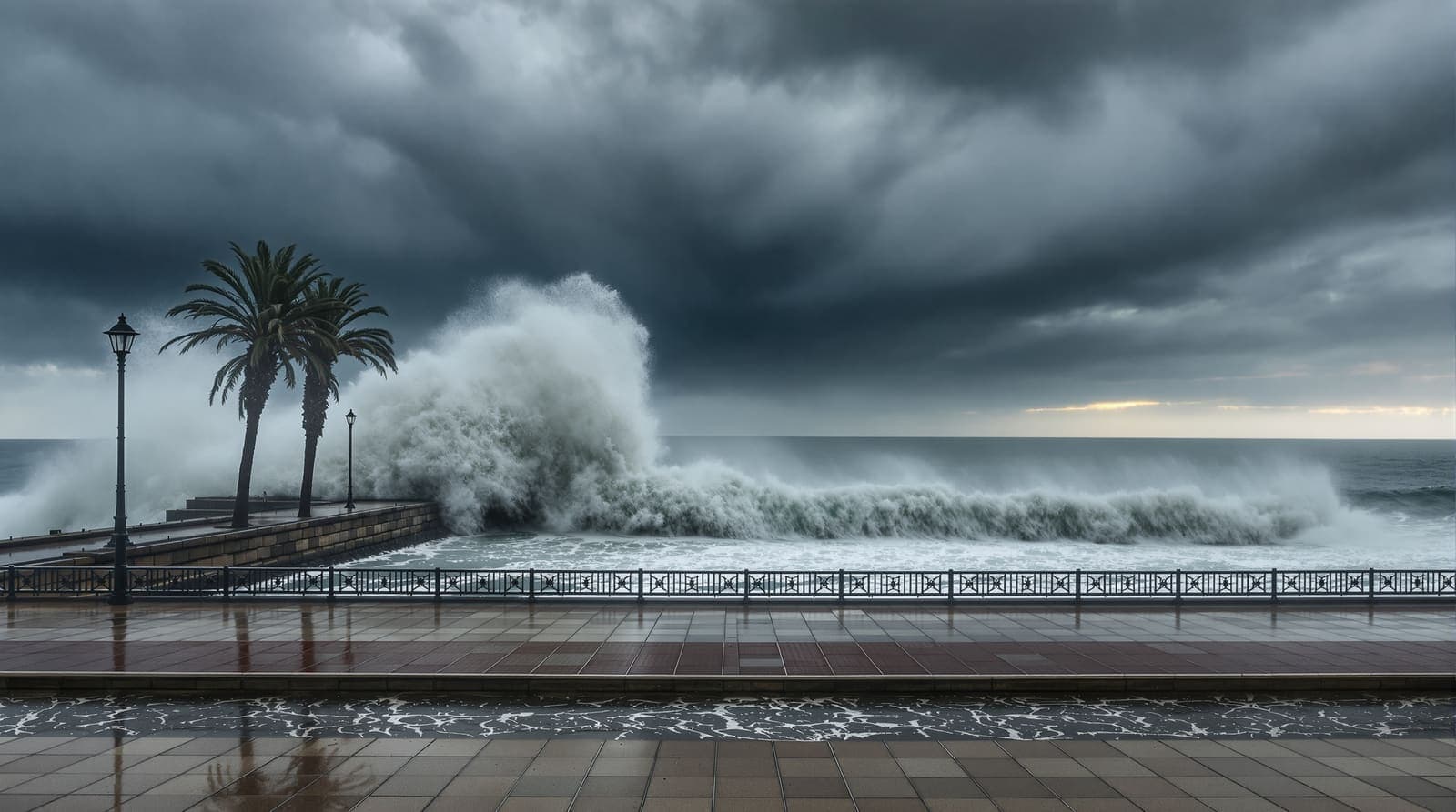
Israel prepared for Storm Byron, forecast to bring heavy rain, strong winds and widespread flooding over several days. Some areas could see up to 200 millimetres of rain, particularly along the northern coast and in the lowlands, and authorities issued flood warnings and put emergency services on alert.
The forecast timetable ran as follows: rain reaching the northern coast on Tuesday evening, heavier showers along the coastal plain overnight, thunderstorms on Wednesday from the north down to the northern Negev with flash floods possible in low ground, and precipitation extending to the Negev and the Dead Sea region by Wednesday afternoon, raising the risk in desert stream beds. The storm was expected to peak on Wednesday night and Thursday, with flooding concentrating by late Thursday on the southern coastal plain between Rishon Lezion and Ashkelon, and rain tapering off during Friday.
Why the desert is the dangerous part
The instinct that a desert is the safe place in a rainstorm is exactly backwards. Water falling on bare rock in the Judean Desert and around the Dead Sea does not soak in; it collects in dry channels called wadis and arrives downstream as a wall, often under a clear sky, tens of kilometres from where the rain fell. That is why the warnings singled out desert streams. The Jerusalem Post reported the Israel Meteorological Service expecting winds of up to 80 kilometres per hour and flash floods in Judean Desert streams and near the Dead Sea, with the Fire and Rescue Authority telling people to stay out of flooded roads, away from stream beds, and out of basements and underground car parks.
Authorities in the original advisory listed the same set of hazards from the built environment: falling trees, poles and traffic signs, and flooded underground parking, citing past incidents that caused injuries and deaths. Swimming in the Mediterranean was strongly discouraged because of high waves and severe tidal changes. Fire and rescue teams were deployed to sensitive areas, observation posts were set up along waterways, flood rescue equipment was readied and command centres moved to round-the-clock operation with local authorities.
Municipalities acted too. Kfar Saba prepared retention reservoirs, cleared water flow routes and reinforced barriers in flood-prone zones. Ashdod cancelled a planned market over fears of underground car park flooding and told residents to avoid low-lying areas until Friday evening. Tel Aviv-Yafo cancelled its farmers’ and flea markets and put emergency measures in place, including support for people sleeping rough, while warning that extreme rainfall could still overwhelm the city’s drainage.
How storms in this corner of the Mediterranean got names
Byron was the first named storm of the season for Israel, Greece and Cyprus under a regional arrangement begun in 2021. The three national weather services set up the East Mediterranean Storm Naming Group, which named its first storm, Athina, in October 2021. The Israel Meteorological Service announced at the time that Israel would begin naming significant weather events. The point of a shared list is that a storm crossing three countries is called the same thing in each of them, which makes warnings easier to follow across borders and easier to remember afterwards.
What is still unclear
The two available accounts of the same storm do not match. The original advisory said Byron caused property damage, school closures and travel disruption in Greece and Cyprus but that no casualties were reported; the Jerusalem Post reported two deaths in Greece from flash floods before the system reached Israel. Rainfall expectations also differ: up to 200 millimetres in the original advisory against a forecast of 100 to 150 millimetres in the Jerusalem Post’s account. The advisory did not name the body issuing the Israeli forecast, and gave no figures for how many rescue teams or vehicles were deployed.
Sources and further reading
Every link below was opened and checked when this page was written. Official statements are marked as such: they are the subject's own account, not an independent one.
- OfficialEUMETNETeumetnet.euEast Mediterranean Storm Naming Group names its first storm
The 2021 Greece-Cyprus-Israel storm naming arrangement
- OfficialIsrael Meteorological Serviceims.gov.ilIsrael will also have names for significant weather events
Israel's adoption of storm naming
- ReportingJerusalem Postjpost.comStorm Byron is expected to hit Israel on Wednesday
Wind speeds, rainfall forecast, rescue-authority guidance and the storm's passage through Greece
How we checked this
The forecast timetable, hazard warnings and municipal preparations are as issued in the Israeli advisory of 9 December 2025. The storm-naming arrangement was verified with EUMETNET and the Israel Meteorological Service, and the divergent wind, rainfall and Greek casualty figures come from Jerusalem Post reporting and are flagged in the article.
The account of the incident itself rests on the official statement and has not been independently confirmed by Israel.com. Where the statement is silent, this page says so rather than filling the gap.
Our sourcing and corrections policy →The week from Israel, in one email
The stories that mattered, sourced and checked by the Israel.com newsroom. Free, weekly, one-click unsubscribe.
One list, unsubscribe in a click. See our privacy policy.
More in Security
All security →


Latest
- Houthi forces reported streaming into Yemen's port city of Mocha
- Israel says three Hamas weapons depots destroyed in strikes across Gaza
- Advisers warned Trump the Iran war could outlast his presidency
- Iranian agency reports explosions near Jask and the port of Sirik
- Drone sirens sound in Galilee Panhandle, then declared a false identification
- Netanyahu visits Mount Hermon inside Syria; Damascus calls it illegal