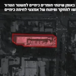


The objective of the survey is to image the extent of the subsurface Sedom salt layer for the purpose of geological storage.
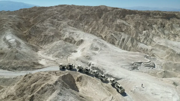
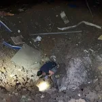
The seismic data is being collected in the field by a skilled team from the Geophysical Institute, operating heavy equipment that injects energy into the ground and records the returning waves, thereby producing an image of the subsurface.
The survey is being overseen by Ran Issachar and ram weinberger on behalf of the geological Survey, and by Uri Frislander and Itay Ruchlin on behalf of the Geophysical Institute.
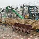
A seismic survey is currently being conducted in the Amiaz Plain and Mount Sedom